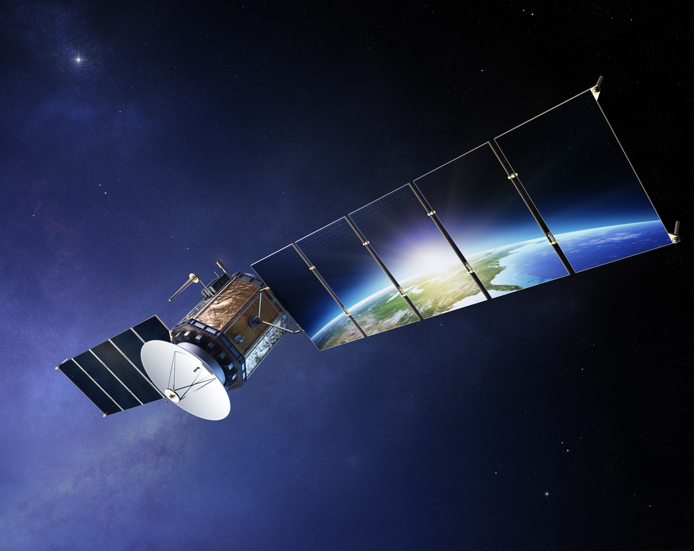
How Satellites Support Sustainable Aviation
Aviation today is a vital bridge that enables people and businesses to connect across continents in hours. Over 65 million jobs are supported worldwide, with over $3.5 trillion contributed to the global gross domestic product. From environmental research to tourism and trade, aviation supports humanity’s ability to respond, connect, and progress.
Nevertheless, aviation raises significant environmental concerns, being one of the main contributors to global greenhouse gas emissions. Jet fuel combustion, along with noise pollution and aircraft manufacturing, can not be ignored. The solution to the “carbon footprint” issue is arriving from an unexpected place – satellites. Insights from space can actually transform how the industry operates, going far beyond tracking. Satellite imagery reveals contrail formation, highlights CO₂ emissions, and even finds the most fuel-efficient routes in real time.
The Growing Role of Satellite Data in Aviation
European Union Aviation Safety Agency reports that more than 80% of flight operations in Europe are supported by satellite-based navigation. The exact purpose of satellite data is to reduce delays and increase fuel efficiency. But current satellite imagery can contribute even more.
Satellites enable smarter flight planning by providing data from GNSS and ADS-B systems. With its help, dispatchers and pilots can choose safer, faster, and more fuel-efficient routes. Singapore Airlines, for instance, uses satellite tracking to optimize flight paths and reduce emissions.
Seamless communication guaranteed by satellites (Aviation SATCOM) takes this connection further by keeping aircraft in constant touch with the ground. After the disappearance of Malaysia Airlines Flight MH370, the aviation industry relies heavily on real-time location updates.
But satellites also contribute to aviation issues on Earth. Airport management has become more efficient and safe: runway wear can be monitored precisely, track construction is more complete, and potential flood risks can be detected before they disrupt flight schedules.
Using Satellite Insights to Reduce Aviation’s Environmental Footprint
While satellite imagery is vital for aviation communication and flight planning, it is still the cornerstone of managing the environmental consequences of aviation.
Contrails are line-shaped ice clouds that form behind jet aircraft when hot, humid exhaust gases mix with the cold, high-altitude atmosphere. Why are they dangerous for the environment? Recent research, including findings from the 2022 IPCC report, suggests that contrails could contribute up to 35% of aviation’s total climate impact by trapping heat like other ice clouds do.
Thermal infrared and visible-spectrum sensors that are equipped on MODIS or Sentinel-3, operated by NASA and ESA, allow for the identification and tracking of these contrails. Using AI, experts can now plan flight routes more precisely, minimizing the formation of contrails and lowering aviation’s overall warming effect.
And what about greenhouse gas emissions? Modern satellite technology is finally giving us the clarity we’ve long needed. From space, we can view real-time satellite images, detect and measure carbon dioxide, methane, and other pollutants released by aircraft at high altitudes — something that was nearly impossible to track just a decade ago. This information paints a far more complete picture of how aviation affects the atmosphere, helping scientists, environmental groups, and policymakers understand the true scale of its impact. More importantly, these insights feed directly into improved climate models and guide global sustainability efforts like ICAO’s Carbon Offsetting and Reduction Scheme for International Aviation (CORSIA).
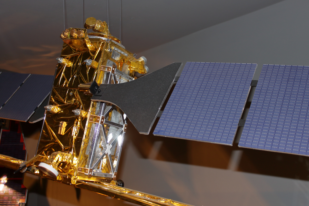
Implementation of AI Algorithms in Satellite Image Recognition
According to the World Economic Forum’s report “The Catalytic Potential of Artificial Intelligence for Earth Observation”, machine learning and AI algorithms improved the time of satellite imagery processing up to 50 times compared to manual methods. The investigation of illegal gold mining across the Amazon is the perfect example. Reporters and scientists could receive useful outputs in days, not in weeks, as it was before. But how?
Firstly, artificial intelligence can identify objects such as aircraft, vehicles, buildings, vegetation, or even slight environmental changes in satellite images. Now, the whole team of analysts is not necessary. The process of identification is automated and can be completed much faster using AI algorithms.
Secondly, AI models can compare live satellite imagery with archive photos, detecting changes over time. This is the main benefit of AI for tracking deforestation, urban expansion, disaster management, and formation of contrails, which is vital for sustainable aviation.
Finally, AI can be used not only to recognize patterns but to predict them. Flight conditions can be forecasted using weather and atmospheric data, minimizing potential safety risks for aviation.
Growing Cooperation with the Commercial Sector
Commercial satellite providers are becoming more integrated into state, aviation, and military campaigns, leading to increased spending on these services. Just look at the U.S. Space Force: in 2024, they’re pouring $4 billion of their budget into partnerships with private satellite companies. Why? Because today’s commercial satellites are gathering staggering amounts of high-quality imagery every day, far faster and more cheaply than government-run systems. Instead of building their own massive fleets, government agencies can now simply buy the data they need, saving both time and money.
Companies like EOS Data Analytics capture detailed satellite images from space and use top-notch AI and machine learning algorithms to turn that raw data into clear, practical insights. And their work goes far beyond defense or climate research. They are changing the way we fly. With the real-time data on airplane emissions, contrails, and weather patterns, airline operators understand how to fly safer and more efficiently, minimizing their environmental footprint.
Author:
Kateryna Sergieieva has a Ph.D. in information technologies and 15 years of experience in remote sensing. She is a scientist responsible for developing technologies for satellite monitoring and surface feature change detection. Kateryna is an author of over 60 scientific publications.